
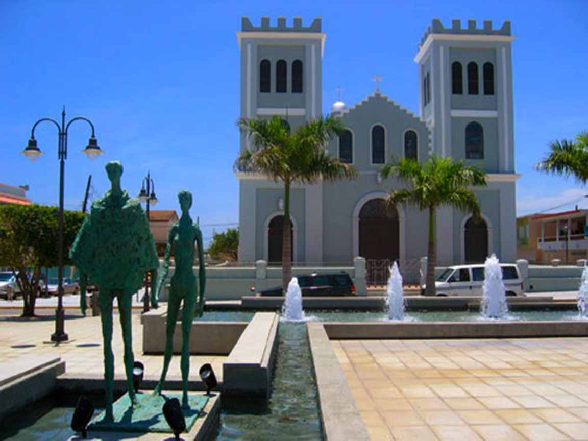
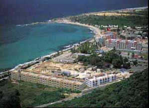
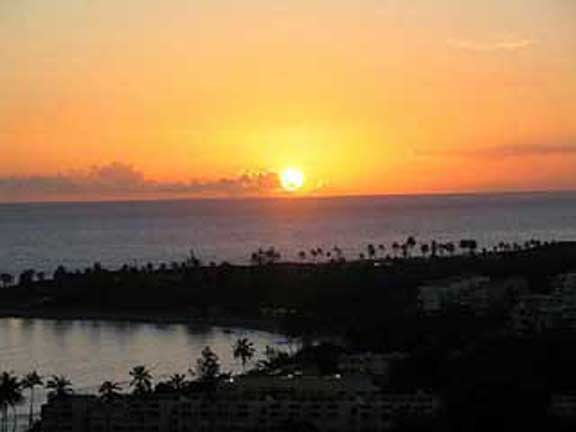
Isabela, the western-most town on the north coast, offers visitors great views and beaches. If you are like me, you will be in heaven watching the beauty of the ocean crashing onto the shore or over rocks. Though best-known for its beaches and surfing, Isabela also has a forest
reserve, caves, lakes, rivers and historical sites all waiting to be explored.
We spent some time exploring Isabela, and the surroundingarea, in October. One of our first photo spotswas at the corner of Route 2 and Route 113 — there’s a sculpture of an Indian’s face carved into a rock wall. You can’t miss it — it has to be at least 15-feet tall!

Villa Pesquera & Playa Punta Sardinera
Following Route 113, we tried to find a few lesser-known beaches that are on our list to check out, but were unable to locate them. So we instead headed to beaches that we already knew about. We eventually found, and turned onto Route 466, then quickly turned off (on the street before the big condo complex) and went down to Villa Pesquera andPlaya Punta Sardinera.
Villa Pesquera is a bunch of nice-looking kiosks, where you can get some good, reasonably-priced local food, drinks and just enjoy the area. Even on a Monday afternoon there were a number of people there — I bet is is VERY popular on weekends!

Right across from the kiosks is a small beach that looked suitable for swimming, as it was protected from most of the rough waves. Unfortunately, there was a lot of trash along the road and beach by these kiosks. But the beach itself looked clean.
There are also other beaches as you go along this coastal road. Playa Punta Sardinera is right behind the condos.
Poza de Teodoro

Heading back onto Route 466, we found a small sign that said Pozo Teodoro. We followed the sign across the dunes and found a cute swimming hole. This pozo is totally protected from the pounding ocean waves. It was shallow — maybe 2 feet deep — and the sea water in it was warm. This looks like a great spot for kids to play and swim. The sand was soft and clean, and the view from the beach was great. It is a pretty little spot.
We got to the spot that I assume was Jobos Beach and I wanted to see the Pozo Jacinto and the blow hole, but we couldn’t figure out where to park! Maybe next time.
Montones & the Blue Hole
We did find the blue hole near Villa Montones. It is known as a good snorkeling spot, but the day we were there it was too rough to go into the water. As you walk away from Villa Montones and the little houses of Parador Mar Hau, you will come to a mountain (a large rock formation) in the water.

Facing the mountain, the blue hole was to the left. I would enter the water from the mountain area, but you would need to monitor surf conditions before going into the water. There was a nice protected swimming area on the beach to the right and right near the mountain.
You can access this beach by turning off of Route 466 at KM 9, and head down the road next to Villa Montones Beach Resort. Park along the road.
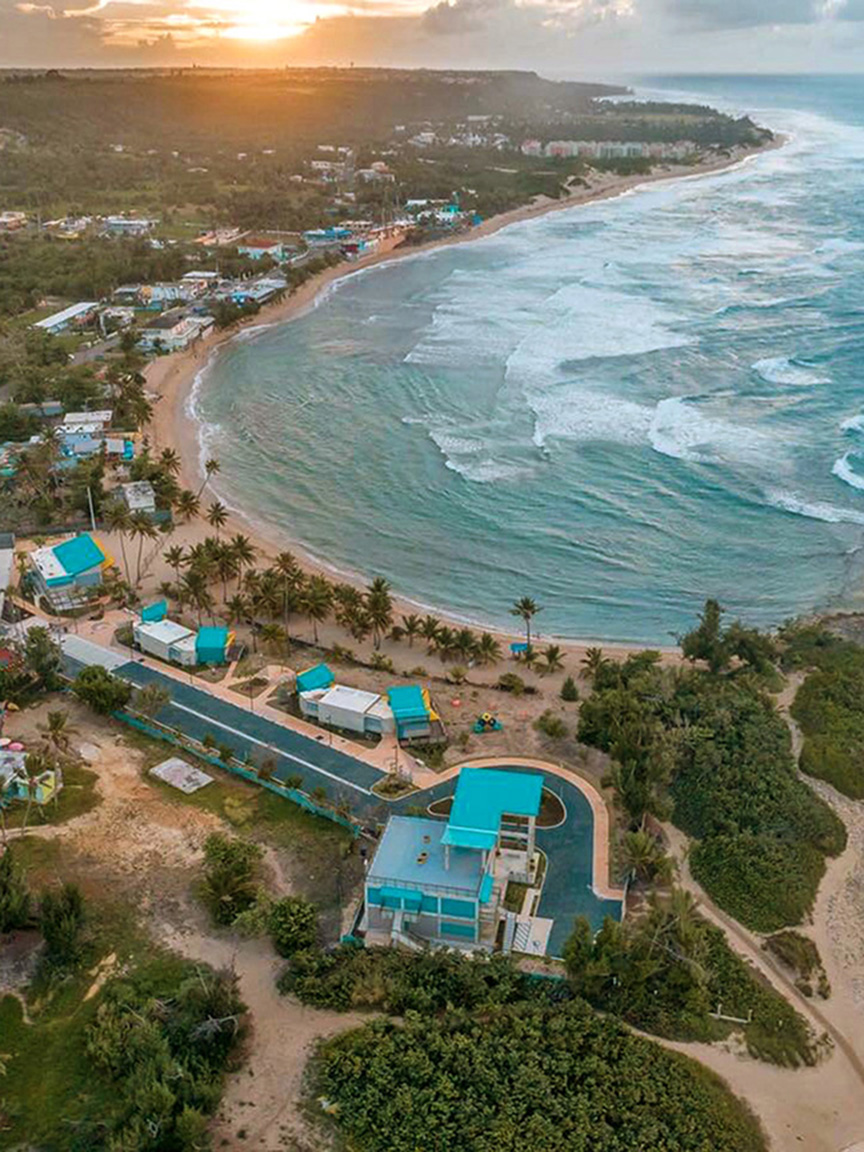
Shacks Beach & Underwater Caves
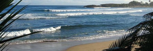
We did find Shacks Beach (with a little trouble), but again, parking is an issue. As you go along Route 4466, it eventually turns away from the water. There is a small side street to the right — this leads down to a small path and steps that you take down to Shacks Beach. There is a reef a distance from shore that kind of protects the beach, so it is possible that this is a swimming beach, conditions permitting(which they were not the day we were there).
There is a small, open lot at the corner of Route 4466 and the side street where you can supposedly park. If you park elsewhere, you may be towed away. I have heard the area is not immune to break-ins, so leave the car unlocked and nothing of value inside.

The underwater caves are also located at Shacks Beach. We went SCUBA diving (with an experienced dive master) into these caves, which was an interesting experience. It is actually a series of underwater caves, tunnels, swim-throughs, caverns and passageways. It would be easy to get turned around and lost. Do not try diving here alone.
Heading Away from the Beach
Inland, you will find the Bosque Guajataca — a small forest with 25 miles of hiking and walking trails. We hiked to theCueva del Viento and along the Interpretative Trail. We’ve been to this forest a couple of times. It’s a nice place to walk around, get some exercise and enjoy nature.
We still have a long list of things to explore in this area, including some more beaches, Rio Guajataca, the blow holes, the church ruins of San Antonio de La Tuna,Golindrinas Caves on the beach, Tropical Trail Rideshorseback riding, and to snorkel at the blue hole.
Random Notes

We did have trouble finding the beaches. Route 466 is just miles of coastline, with beach after beach. But there are no signs to help you figure out which beach was which!
Many of these beaches are too rough and dangerous for safe swimming. You must monitor the water before going in.
Here are some GPS coordinates to help you find some of these locations
Villa Pesquera: (18.508440, -67.022684)
Playita Teodore: (18.511638, -67.036955)
Montones Beach: (18.512723, -67.067013)
Shacks Beach: (18.513862, -67.101129)
You can get an overview of the Isabela area on our Interactive Island Map


")


